 Back to the app
Motorcycle GPX downloads
Real, ready-to-ride off-road routes for motorcycles, built entirely from Holloway's own mapped BOATs and byways. Each one links well-known legal lanes into a full day out, real road links between them included, browse for free and download the GPX with Holloway Premium.
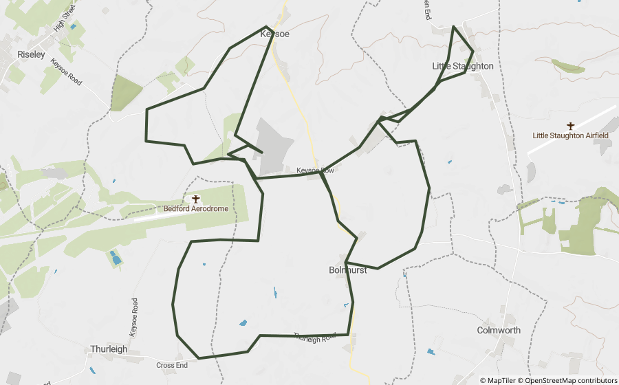
Bedfordshire
Cross End, Hangman's & Woodland Road Loop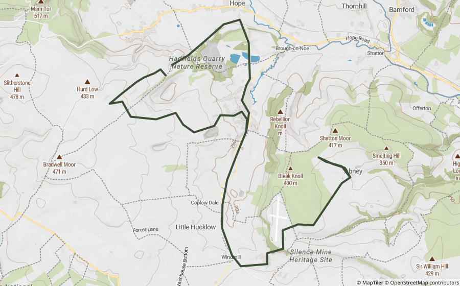
Derbyshire
Pindale Road & Dirtlow Rake Loop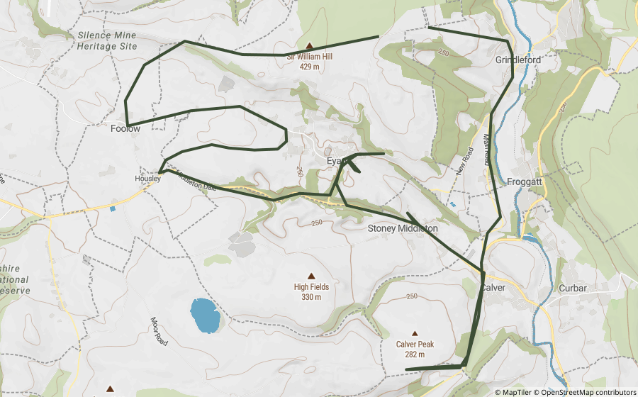
Derbyshire
Sir William Hill Road & Mill Lane Loop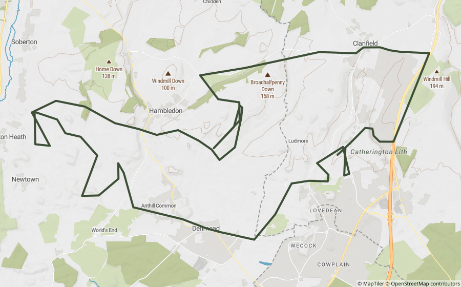
Hampshire
Denmead Lanes Loop
Hampshire
Pitt Hill Lane & Horsepost Lane Loop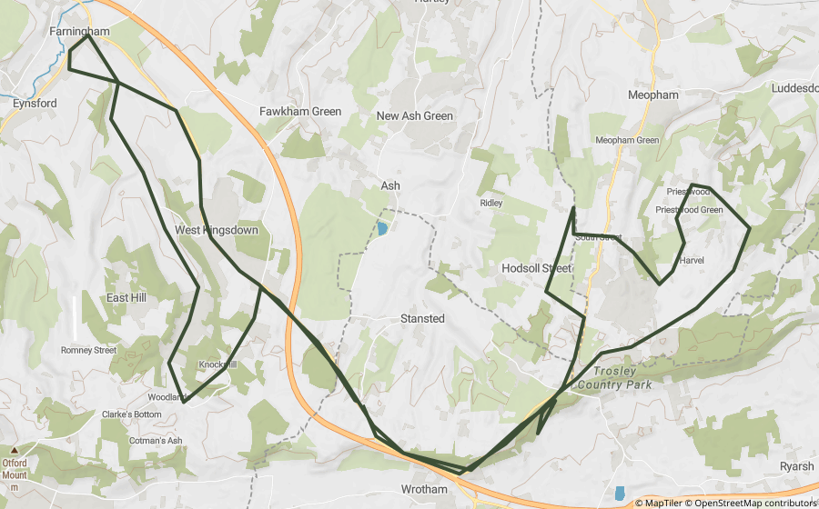
Kent
Tunstall Lanes Loop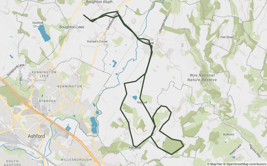
Kent
Goodcheap & Nats Lane LoopNo routes for this county yet, check back soon.
Each route links well-known, currently-legal off-road byways (BOATs and UCRs) with the real roads that connect them. It's built and checked once, then served as a plain, static GPX file, so you're downloading a finished route, not a live plan.
Download the file and import it into whatever your GPS unit or phone app already uses. Most dedicated motorcycle GPS units (Garmin, TomTom Rider) and apps (Gaia GPS, OsmAnd) can open a .gpx file directly. You can also open it straight in the Holloway app and use live navigation.
Every lane on a route is checked against Holloway's own legal and closure data at the time it's built, but legal status can change. Always check a lane's current status on its own page in the app, and any signage on the day, before riding.
Browsing every route, seeing the map preview and reading the lane list is free. Downloading the actual GPX file is part of Holloway Premium, £20/year.
Yes, any signed-in Holloway account, free or Premium, can rate a route out of 5. The average shows on the route’s own page and on its tile here.
Yes, more counties and routes are added regularly. Check back, or browse by county above.