 GPX Routes
Back to the app
GPX Routes
Back to the app
Motorcycle GPX route · Kent
A loop through the byways near Charing and Egerton in Kent, starting and finishing on Brewhouse Lane. Links Brewhouse Lane, Goodcheap Lane, Nats Lane and Nackholt Track with real roads between each one. Every lane is currently open and legal to ride.
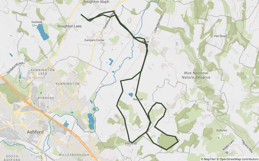
This is a real, off-road motorcycle route, built entirely from lanes Holloway's own mapping already shows as currently legal to ride. It strings together real BOATs and byways with the actual roads that connect them, so the GPX traces the whole route, not just the off-road sections in isolation.
Every lane here is a BOAT, generally easier byway riding, no fords or known technical sections currently flagged.
Part of Holloway Premium. The file traces the real off-road byways and the real road links between them, ready to load onto a motorcycle GPS unit or a phone app.
Reference only. Legal status can change, always check signage and current Traffic Regulation Orders before riding, whatever this page or the downloaded file shows. See the lane's own page in the app for its current, live legal and closure status before setting off.