
England & Wales · free to browse
Thousands of green lanes and byways, colour-coded by type so you can see what's legal to ride at a glance. Find a lane, check its status yourself in one tap, and get there.
Most maps show you a track. Holloway shows you what that track legally is, a BOAT, a UCR, a restricted byway, or something you shouldn't ride at all, colour-coded so you never mix them up.
You don't need an evening with a paper map, three browser tabs and a council PDF just to find a legal lane near you. Holloway is built for riders who want the quickest route from "fancy a ride" to actually being out on one.
Everything, in one app
Browsing, checking legal status and reading hazards is free for every lane, no account needed. Route planning, GPX export and live navigation are Holloway Premium.
01 · Free
BOAT, UCR, ORPA and restricted byway, always shown distinctly, never blurred together.
02 · Free
One tap, straight to the council's current traffic notices for that exact lane.
03 · Free
Real reports from other riders, plus live TRO and closure updates.
04 · Free
Historic sites and landmarks worth a detour, mapped alongside the lanes.
05 · Paid
Tap a lane, pick the nearest end, and Google Maps takes you straight there. No route to build first.
06 · Paid
String lanes together, then drop your own road points to choose exactly which road connects them.
07 · Paid
One combined file, legal notes and hazards baked in, ready for a GPS unit or a phone app.
08 · Paid
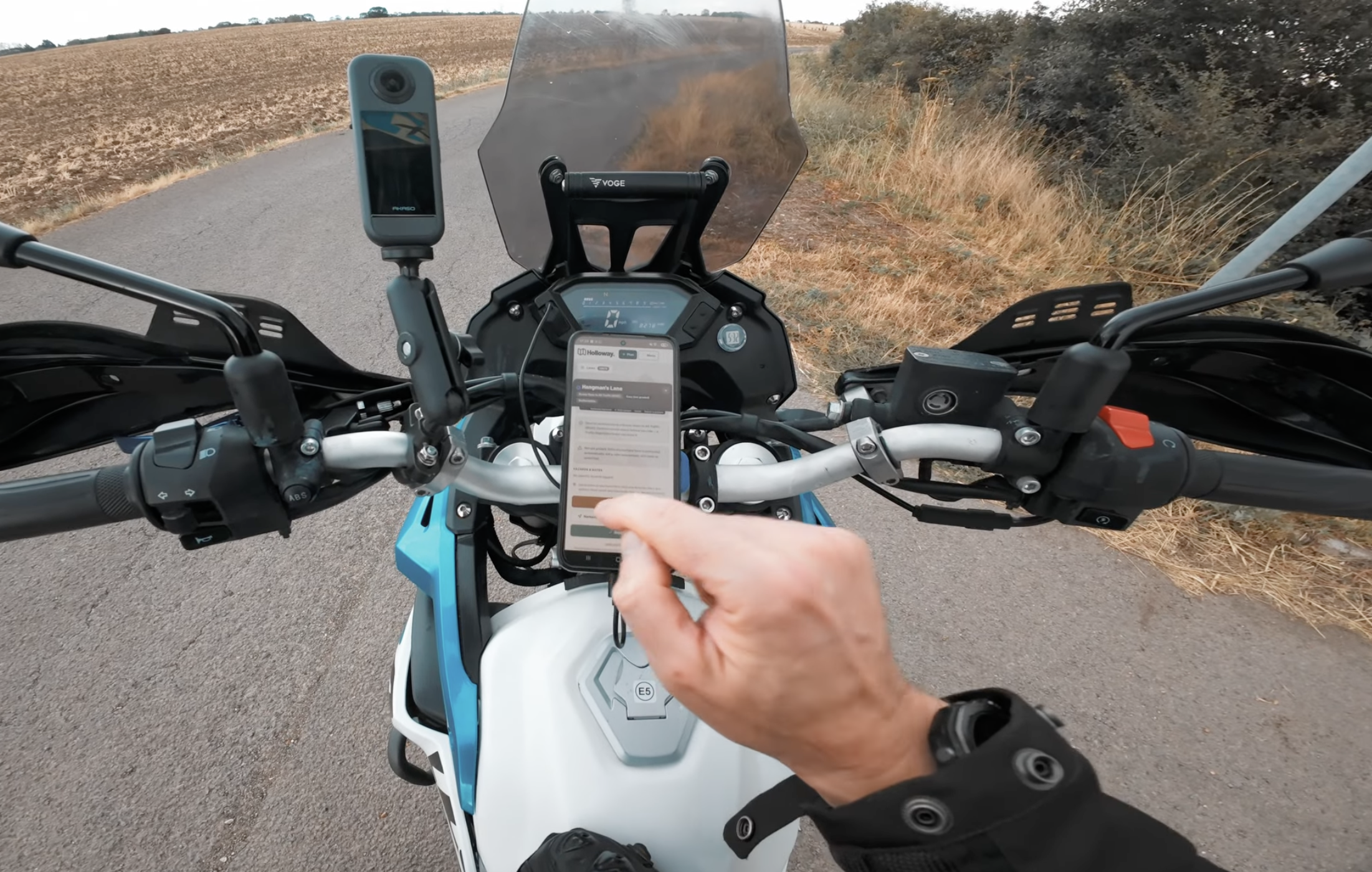
A moving map with real turn-by-turn on the road links between lanes, built for a bar mount, not a phone in your pocket.
See it in action
Pricing
No trial that runs out, no account needed for the free tier. Upgrade whenever route planning actually matters to you.
Free
Browse & check
£0
Most riders upgrade for this
Holloway Premium
Plan & navigate
£20/year
Less than 40p a week. Cancel any time.
£1 from every membership goes straight toward keeping lanes open, maintained, and supporting the people who do that work.
Questions
Yes. Browsing the map, checking a lane's legal status, seeing hazards and difficulty, and reporting or suggesting a lane are all free, no account needed. Route planning, GPX export and live navigation are Holloway Premium, £20 a year.
Every lane's classification is built from real data, OpenStreetMap tagging and council rights-of-way records across 149 authorities, not a guess. It's not a guarantee, and not every lane has been individually checked, which is why every lane also gets its own one-tap Legal Status Search so you can check for yourself before you ride.
Not yet. Scotland has different access law, motor vehicles are excluded from the right to roam, and no equivalent of England and Wales's definitive-map system, so off-road motor use there is presumptively not legal without a specific known exception. Holloway currently covers England and Wales.
No. Everything free works with no account and no sign-up at all. You only need to sign in if you want to subscribe to Holloway Premium, so it's tied to your account across devices.
Route planning with real road-following connectors between lanes, combined GPX export, live in-app navigation, exact coordinates, live weather and street view where available, all for £20 a year. £1 from every membership goes straight toward keeping lanes open and maintained.
No, and it's not trying to be. The TRF does the real work of defending rights of way and keeping lanes legally open. If you can only afford one membership, make it theirs. Holloway Premium adds route planning and navigation for the day itself, on top of that, not instead of it.
Beyond the map
44
A real page per county, real stats, real named lanes.
56+
Legal explainers, route guides and honest app comparisons.
50
Real specs and a Holloway Green Lane Score, no marketing.
40
From FIM enduro rubber to 90/10 road-biased tyres.
New
Real ownership reviews, ridden and tested, not a press release.
Browsing is free, checking a lane's legal status is free, and there's no account wall between you and the map.