

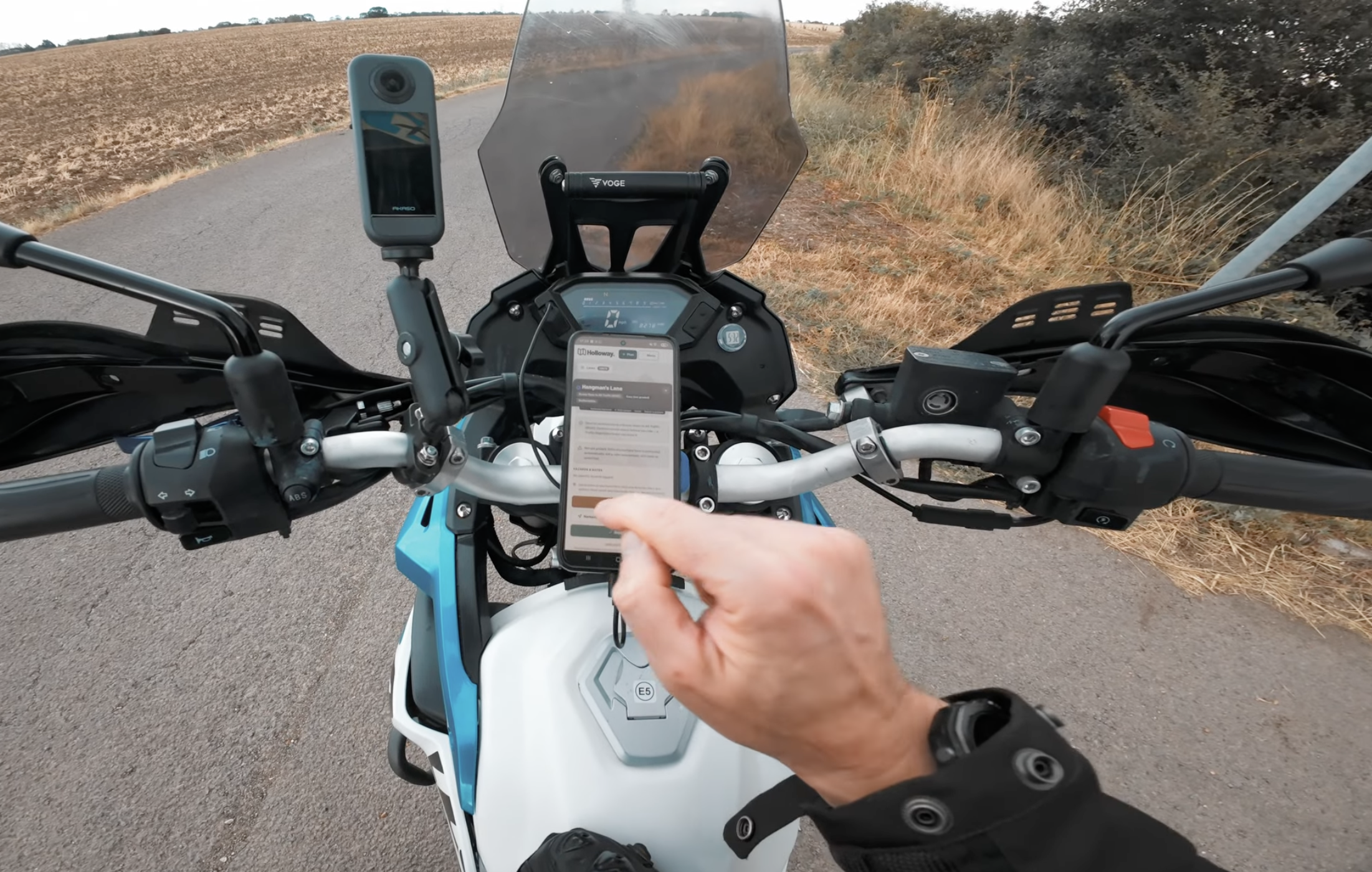
If you're reading this, there's a decent chance you already know TrailVidz, it's built a real following since launching in February 2025, and for good reason. This isn't the full rundown of every option out there, that's covered properly here, this is a straight, honest comparison for anyone specifically weighing up TrailVidz against Holloway.
What TrailVidz actually does well
TrailVidz's whole pitch is video. As of its most recent update it's filmed over 1,700 byways and lanes across England, Wales and the Isle of Man, with navigation pins dropped at trail entrances and each lane colour-graded by difficulty. That's a genuinely different way to judge a lane than reading a written grade, you're watching the actual mud, the actual gradient, the actual line other riders took, not trusting someone's idea of what "moderate" means. If you're on the fence about whether a specific technical section is within your ability, seeing it ridden is about as honest a preview as exists short of going and looking yourself.
It's membership-only, £20 a year, with no free tier at all, and lifetime membership is no longer offered. What that gets you beyond the video library is a genuine perk stack, TrailVidz currently lists over £150 worth of member-only discounts on kit and tools, enough on its own to offset a chunk of the membership fee if you were buying gear anyway. It also includes a GPX Creator for building your own routes, so it's not purely a lookup tool.
Where Holloway does something different
Holloway starts from a different question: not "what does this lane look like", but "can I legally ride here, right now". Browsing the map, checking a lane's legal classification (BOAT, UCR, ORPA or restricted byway, never blurred together), seeing hazards other riders have logged, and running the one-tap Legal Status Search are all free, no account needed at all. That's the single clearest structural difference, TrailVidz's video library sits entirely behind its £20 membership with nothing free to check first, Holloway's core legal and hazard data doesn't.
The other real difference is what happens once a lane's legal status changes. Holloway runs a live closures and TRO reporting system, a moderator (or, going forward, anyone submitting a report for review) can flag a fresh closure and have it reach every visitor immediately, not wait for a future data refresh. Grading here is also moderator-reviewed before it's shown as graded, an ungraded or OSM-inferred lane is labelled honestly as such rather than presented with the same confidence as one a real rider has actually assessed.
Once you're actually planning a day out, Holloway lets you string several lanes together with real road-following connectors between them, add your own road points to choose exactly which road links two lanes rather than whatever a routing engine picks, download the whole thing as one combined GPX file, and navigate it live on the day with a moving map. Route planning, GPX export and live navigation all sit behind Holloway Premium too, at the same £20/year TrailVidz charges, but browsing and legal-status checking never do.
Being fair about the overlap
Both tools now do route planning and GPX export, so that's not a point of difference worth overstating either way. And it's worth being honest that TrailVidz's video library isn't something Holloway fully replicates, riders can add a video link to a specific lane here, and street view fills in some of the same gap where Google's actually covered the area, but neither is a purpose-built visual dictionary the way TrailVidz's own library is. If watching a lane ridden before you commit is the thing you actually want, that's a real, distinct strength on their side.
Which one actually fits you
If your main question is "what does this technical section actually look like", TrailVidz's video-first approach answers that better than anything else on the market right now. If your main question is "can I ride here at all, and has anything changed recently", or you want to plan and navigate a whole day linking several lanes together without paying anything just to check whether one's legal first, that's the gap Holloway was built to close. Plenty of riders will reasonably want both.
Have a look at what's near you, browsing and checking legal status is free, no account needed.