

Open Google Maps, Waze, or a generic sat-nav and try to find out whether a track is a legal byway. You can't, not because the app is bad at its job, but because it was never built to know the difference. It has no concept of a BOAT, a restricted byway, or a Traffic Regulation Order, it just sees a road or it doesn't. Route you down the wrong one and you've found yourself somewhere you had no right to be, with no warning at all. This is what GLASS and the Trail Riders Fellowship actually solve, and it's worth being specific about what each one gives you that a general nav app structurally can't.
GLASS and TrailWise2
The Green Lane Association's membership (£59) includes access to TrailWise2 (TW2), which its own description calls a comprehensive national registry of vehicular rights of way in England and Wales. It covers both UCRs and BOATs, with real recorded detail against each one, location, legal status, physical characteristics, historical significance, and it's built as a hybrid: members contribute comments and route information, and that's reviewed and moderated by GLASS itself rather than shown raw. TW2 also flags whether a route currently carries a temporary restriction and calls out real physical hazards like landslips, and it's taken seriously enough that official bodies, including the police and local authorities, use it too. Membership fees go toward real, physical lane maintenance and the legal and rights-of-way work that keeps routes open in the first place, not just running the map.
The TRF's own Green Road Map
We've covered the Trail Riders Fellowship properly in a dedicated piece, so this is the short version specific to the comparison: TRF membership (around £58 a year) gives access to their own Green Road Map, built branch by branch from riders who actually know their own local network, which lane floods, which gate sticks, which farmer to wave to. It's explicitly not built as a quick lookup tool, the TRF itself describes it as something other than a SatNav, it's a members' resource tied to the wider access-advocacy work TRF does behind the scenes, contested TROs, route surveys, the historical evidence work behind Section 53 claims that keep a right of way from being lost for good.
What both give you that a general nav app never will
Neither GLASS nor the TRF is really competing with Google Maps, they're solving a problem a generic nav app was never designed to touch: real legal classification, checked and moderated rather than assumed, backed by an organisation whose actual purpose is keeping the network legally open. A general nav app has no equivalent to a TW2 hazard flag or a TRF branch member's own local knowledge, and more importantly, no stake at all in whether that lane still exists as a legal right of way next year. That's the access-protection work your membership fee is actually funding, and it's real, ongoing, unglamorous work that a bare map product doesn't do.
Where Holloway sits alongside them
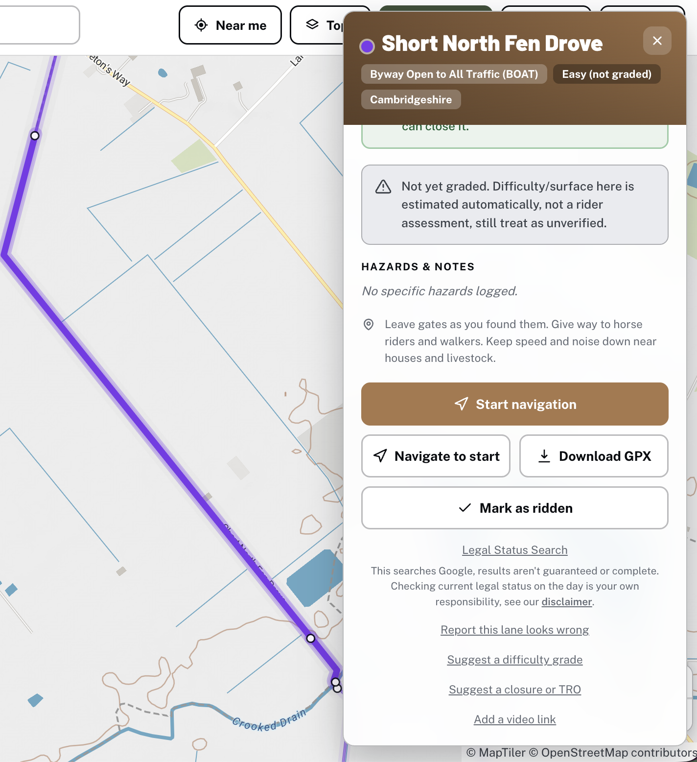
Holloway isn't trying to replace either of these, and says so plainly in its own "How this works" panel: if you can only afford one membership, make it GLASS's or the TRF's, not a Holloway subscription. What Holloway does is put real legal classification (BOAT, UCR, ORPA and restricted byway, kept distinct rather than blurred together) in front of any rider immediately, free, with no membership or joining process required to browse the map or check a lane's current status. It's not branch-level local knowledge and it's not access-advocacy work, it's the more immediate, everyday layer, checking a lane before you ride it, planning a route that links several together, without needing to already be a member of anything. For the deeper, ongoing work of actually keeping lanes open, GLASS and the TRF are where that happens, and our own Keep Lanes Open hub points at both directly alongside the practical things any rider can do themselves.
Have a look at what's near you, browsing and checking legal status is free, no account needed.