
There are 1,120 green lanes open to motorcycles within 25 miles of Basingstoke, about 372 miles of riding in all, and 207 of them are within 10 miles.
The nearest named lane is Winslade Farm Lane, 2.4 miles southeast of the town centre.
The lanes are spread fairly evenly around Basingstoke, with no one direction holding much more than the rest.
The densest cluster is around Chieveley, 17 miles northwest, with 44 lanes within 3 miles of it.
*Lanes open to motorcycles by their recorded designation, BOATs and unclassified county roads, counted as whole lanes. Legal status can change, always check a lane yourself before riding.
Every lane within 25 miles
Basingstoke in pink, rings at 10 and 25 miles, the busiest lane clusters numbered.
Tap any lane on the live map for its status, hazards and weather.
Open the map →Where the lanes cluster
The three busiest patches of lane in range, numbered on the map.
- 1Around Chieveley17 miles northwest of Basingstoke · 44 lanes, about 15 miles of riding within 3 miles
- 2Around Bradley5.9 miles south of Basingstoke · 19 lanes, about 12 miles of riding within 3 miles
- 3Around Broughton23 miles southwest of Basingstoke · 15 lanes, about 9 miles of riding within 3 miles
The nearest named lanes
Open to motorcycles, measured from the centre of Basingstoke.
- Winslade Farm Lane2.4 miles southeast · 1.8 km long · UCR›
- Winslade Lane2.8 miles south · 1.8 km long · BOAT›
- Cafaude Lane2.8 miles north · 0.6 km long · BOAT
- Pigeonhouse Lane2.8 miles south · 0.9 km long · BOAT
- Down Lane3.5 miles east · 0.6 km long · BOAT
- Woodgarston Lane3.7 miles west · 0.5 km long · BOAT
- White Lane3.7 miles east · 2.4 km long · BOAT›
- Scratchface Lane4 miles south · 1.6 km long · BOAT›
Which way to head
Lane mileage within 25 miles, by direction from Basingstoke.
- West75 miles
- Northwest68 miles
- South66 miles
- Southeast50 miles
What the riding is like
County roads (UCRs) are on the council’s list of public roads, which doesn’t confirm motor vehicle rights the way a BOAT does. Worth checking locally.
The longest lanes in range
- Harrow Way6.9 miles west · 5.1 km long · BOAT›
- Wayfarer's Walk20 miles west · 3.9 km long · BOAT›
- Suddern Hill Lane24 miles west · 3.3 km long · BOAT›
- Coombe Bottom Lane21 miles southwest · 3.3 km long · BOAT›
- White Shute24 miles northwest · 3.1 km long · BOAT›
- Woodcock Lane9.2 miles northeast · 3.1 km long · BOAT›
Closed and seasonal lanes nearby
Named lanes within 25 miles with a restriction we know of. Our records aren’t complete, so always check before you ride.
- Weathermore Lane10 miles south · 1.0 km long · BOAT · Closed to motor vehicles›
- Old Litten Lane16 miles south · 1.7 km long · BOAT / UCR · Closed to motor vehicles›
- Halnaker Lane18 miles south · 2.4 km long · BOAT · Closed to motor vehicles›
- Icknield Way24 miles northwest · 3.7 km long · BOAT · Closed to motor vehicles›
- Standfast Lane15 miles southeast · 1.5 km long · BOAT · Seasonal, 1 Nov to 30 Apr›
- The Ridgeway19 miles north · 6.4 km long · BOAT · Seasonal, 1 Oct to 30 Apr›
2 named lanes near Basingstoke close for part of the year. See every lane that closes for winter on our winter closures page.
Holloway Premium
Ride the lanes around Basingstoke
- Plan a route linking these lanes with real roads, starting from your home postcode
- Navigate to any lane in one tap, Google Maps takes you to the right end
- Download GPX for a lane or a whole route
- Mud forecast and weather for every lane before you set off
£1 from every membership goes toward keeping lanes open.
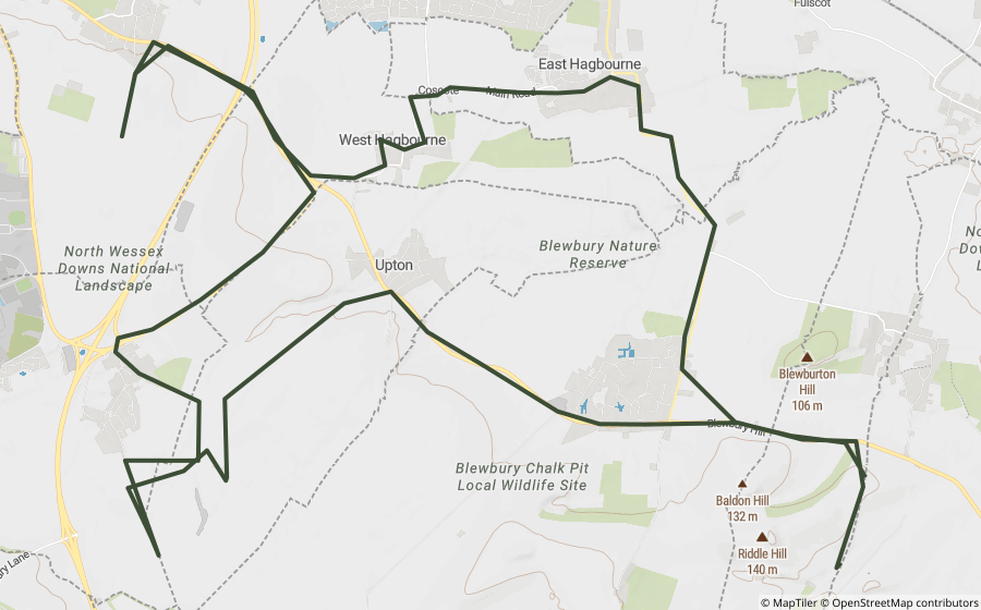
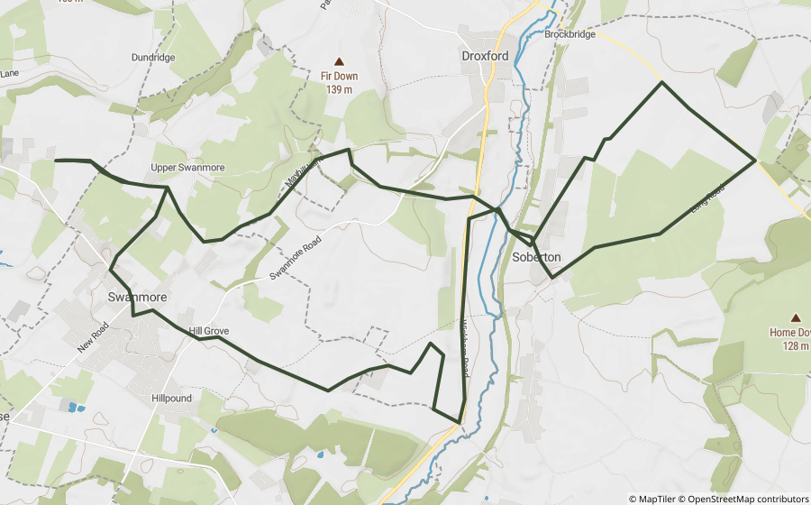
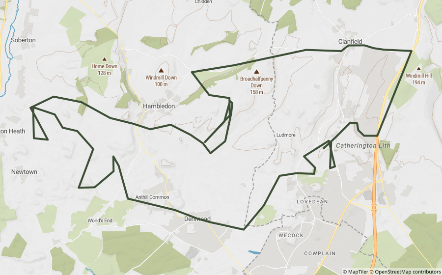
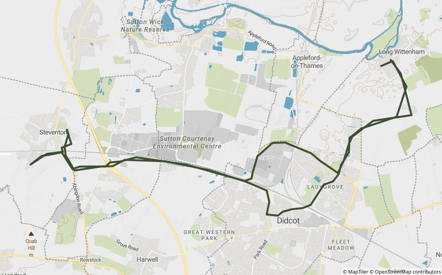
GPX routes near Basingstoke
Ready-made routes that pass within 25 miles.
National parks within reach
Worth a stop on the way
Historic sites within 12 miles of Basingstoke. Access rights not checked.

A country park at Riseley, near Reading.

A 100-acre country park of heath and bog around Longmoor Bog, a designated Site of Special Scientific Interest.

An Iron Age hillfort straddling the Surrey-Hampshire border.
Questions riders ask
Are there green lanes near Basingstoke?
Yes. We map 1,120 green lanes open to motorcycles within 25 miles of Basingstoke, 207 of them within 10 miles, going by each lane's recorded designation. Legal status can change, so check a lane before you ride it.
What's the closest green lane to Basingstoke?
The nearest named lanes are Winslade Farm Lane (2.4 miles southeast), Winslade Lane (2.8 miles south) and Cafaude Lane (2.8 miles north), measured from the town centre.
Are any green lanes near Basingstoke closed?
Within 25 miles, 4 named lanes are closed to motor vehicles and 2 have a seasonal closure, usually over winter. Our closure records aren't complete, so use the Legal Status Search on a lane's card, and check signage on the day.
Can I ride green lanes near Basingstoke on a motorbike?
On BOATs and unclassified county roads, yes, as long as it's road-legal, taxed, insured and ridden with care. Restricted byways, bridleways and footpaths are not open to motor vehicles, and a Traffic Regulation Order can close any lane.
Which national parks are near Basingstoke?
The South Downs is 9.8 miles away and The New Forest is 29 miles away.
More near you
See them on the map
Every lane’s legal status, hazards and closures are free on the Holloway map, with a quick email sign-in.
Open the map, free Green lanes near other townsBuilt from our lane data on 29/09/2026. Lane data from OpenStreetMap contributors and council rights of way and highway records (public sector information under the Open Government Licence v3.0, and OS data © Crown copyright and database rights). Place names © OpenStreetMap contributors. Reference only: legal status changes, check signage and current Traffic Regulation Orders before riding.